Three Dimensional Models & Reality Capture
Overview
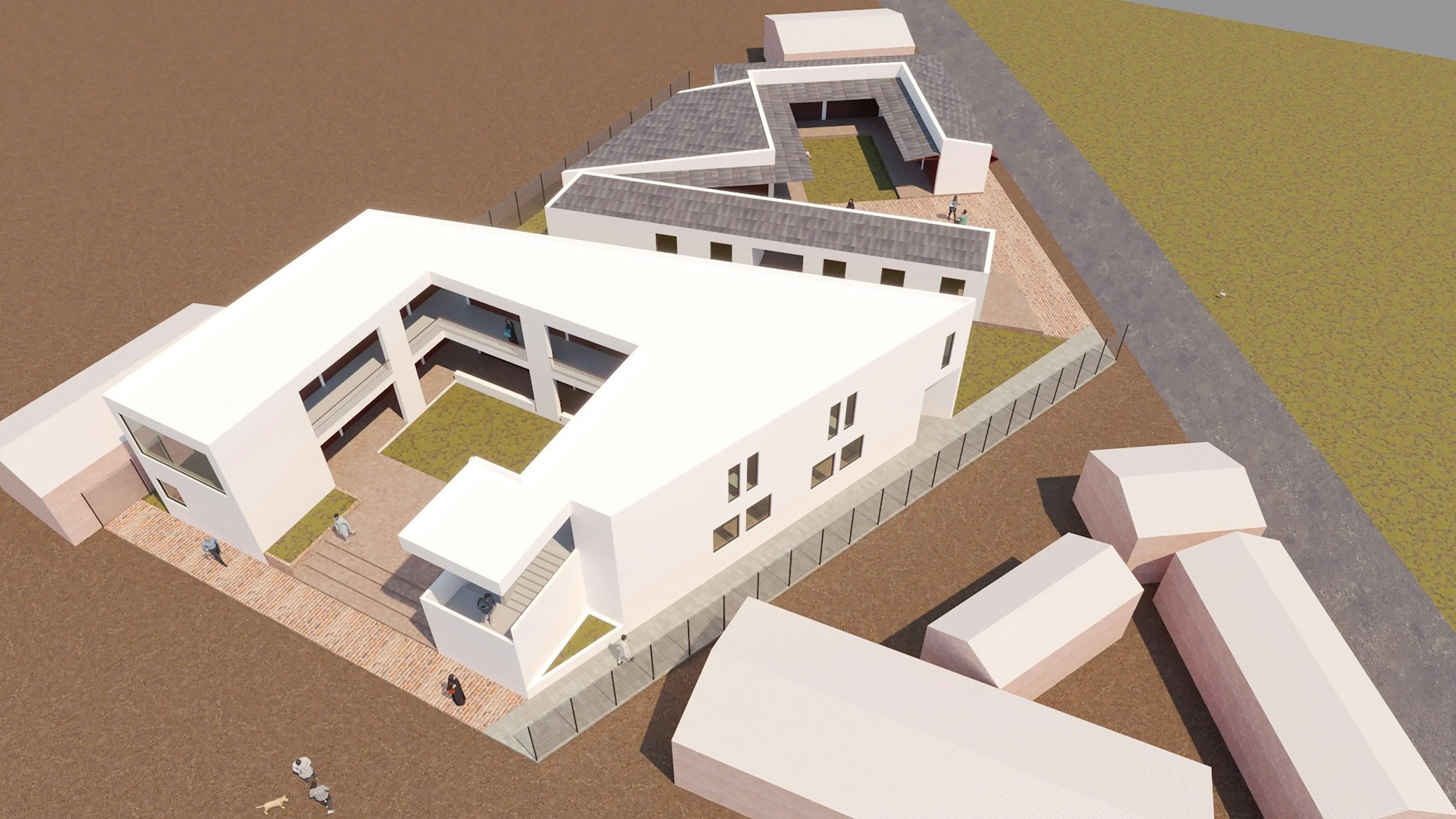
Reality capture transforms aerial imagery into accurate digital representations of buildings, structures, and terrain.
Using professional photogrammetry software, we convert hundreds of overlapping drone photographs into detailed three-dimensional models that support visualization, measurement, planning, and documentation.
These models allow clients to examine sites remotely while preserving a permanent digital record of existing conditions.
-
Detailed exterior models of:
Commercial buildings
Industrial facilities
Historic structures
Churches
Schools
Warehouses
-
Document bridges
Water towers
Communication structures
Utility facilities
Large equipment
-
Surface models
Topographic visualization
Earthwork documentation
Site planning
-
Create accurate digital representations for:
Asset management
Maintenance planning
Engineering review
Facility documentation
Historical preservation
-
Textured 3D models
Dense point clouds
Mesh models
Surface models
Digital elevation models
Orthomosaics
Measurement-ready datasets
Interactive viewing files
High-resolution renderings