Solar Site Assessments
Overview
Every successful solar installation begins with accurate site information. Altura Midwest provides comprehensive field data collection services that help solar installers, EPCs, and engineering teams design systems with confidence before construction begins.
Our assessments combine aerial imagery, detailed ground-level documentation, and critical site measurements into a complete package that supports system design, permitting, and project planning. By collecting all required information during a single site visit whenever possible, we help reduce repeat trips, improve communication between field and design teams, and accelerate project timelines.
-
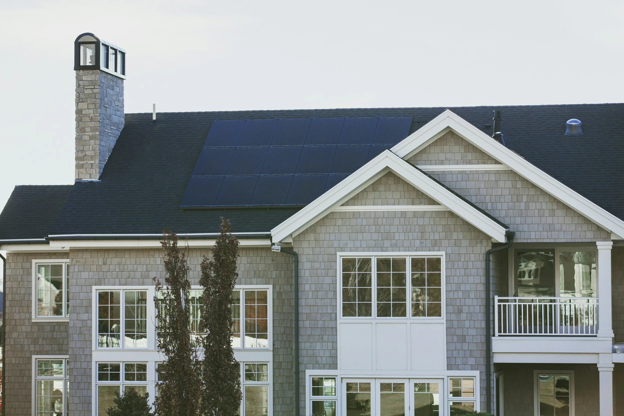
High-resolution aerial photographs
Roof overview imagery
Multiple roof angles
Obstruction documentation
Property overview
Neighboring structures
Tree coverage
-
Roof condition photographs
Roofing material identification
Vent locations
Chimneys
Skylights
HVAC equipment
Satellite dishes
Existing solar equipment
Potential installation obstacles
-
Main electrical panel
Subpanels
Utility meter
Main breaker
Disconnects
Existing conduit
Inverter locations
Available installation space.
-
Ground photographs
Access conditions
Driveways
Equipment staging areas
Utility access
Potential hazards
-
Roof dimensions
Ground measurements
Building footprint
GPS coordinates
Heights
Setbacks
-
High-resolution photographs
Organized image folders
Site notes
Roof documentation
Drone imagery
PDF reports
Measurement data
Optional orthomosaics
Optional 3D models
-
Wide-angle attic overview photographs
Roof framing documentation
Truss configuration and layout
Rafter construction
Roof deck condition
Interior roof penetrations
Mechanical equipment located in the attic
Ventilation systems
Insulation documentation
General attic accessibility